Prof. Dr. Yi LIN
| Personal Information | ||
| Position: | Guest scientist | 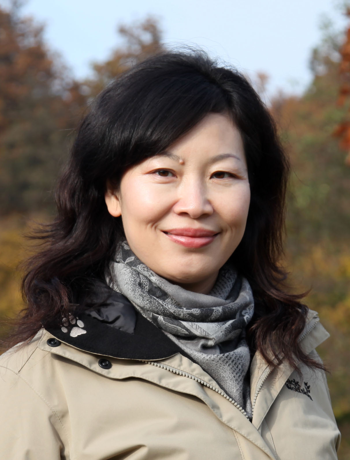 |
| E-Mail: | yi.lin@gis.uni-stuttgart.de | |
| Phone: | +49 711 685-83419 | |
| Fax: | +49 711 685-83285 | |
| Room: | 5.349 | |
| Address: | Institute of Geodesy Geschwister-Scholl-Str. 24/D D-70174 Stuttgart | |
| Visiting Period: | 01.10.2015-30.11.2015; 01.08.2017-30.09.2017 | |
| Permanent Address: | Department of Surveying and Geoinformatics, Tongji University 1239 Spring Road, Shanghai 200092 P.R. of China Phone: +86 (0)21 65981867 Fax: +86 (0)21 65985811 E-Mail: linyi@tongji.edu.cn | |
| Brief Introduction of Prof. Dr. Yi LIN:
Prof. Dr. Yi LIN works at Tongji University and is currently the deputy director of the Research Center of Remote Sensing and Spatial Information Technology.
Since 1992, she has been engaged in information processing from remotely sensed images, digital photogrammetry, RS and GIS integration application.
She has already been a visiting research scientist at the University of Stuttgart between 2009-2010 and 2014-2015.
In Kingston, Canada Prof. Dr. Yi LIN has been a research fellow of Queen’s University in 2010.
In recent years she has conducted and completed above 30 different projects which combined theories with applications based on RS and GIS.
These projects mainly focused on three fields: Dynamic monitoring of the earth surface and environment, varying monitoring of urban development and digital cities.
Among these projects, one project has been awarded as the top prize and one for the second prize for the Science and Technology progress from the National Bureau of
Surveying and Mapping in China.
Moreover, three projects have been awarded as the third prize for the Science and Technology Progress from the National Bureau of Surveying and Mapping in China.
Additionally, three projects respectively have been awarded as the second and third prize for the Science and Technology Progress from the Science and Technology
Commission of Shanghai Municipality. Until now Prof. Dr. Yi LIN has published over 60 academic articles on the core academic journals in China and abroad. She made several oral presentations on international conferences and workshops. In addition, Prof. Dr. Yi LIN has written over 20 feasibility programs, research reports and technical reports on different projects. During her two months' period research visit at University of Stuttgart she focuses on the topic "Remote Sensing Monitoring of Spatial-Temporal Distribution and Variation of Large Scale Terrestrial Surface Water Areas" in the frame of our DAAD Thematic Network. At the same time Prof. Dr. Yi LIN supervises the PhD Student Jie Yu, who conducts a research study at the Institute of Geodesy at University of Stuttgart with the heading “A study of water pollution recognition based on multi-feature space with remote sensing technique”. |


